Plan the Roof View Before Launch
A useful flight begins with a question: an overview before a roof walk, storm-impact documentation, views around hard-to-reach equipment, or comparisons across buildings. We confirm the outline, access contact, operations and areas where flight is unsuitable. Weather, wind, obstacles and airspace conditions can change the plan; when unsafe, we reschedule or use another method.
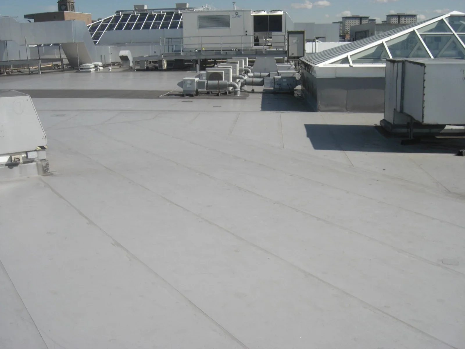
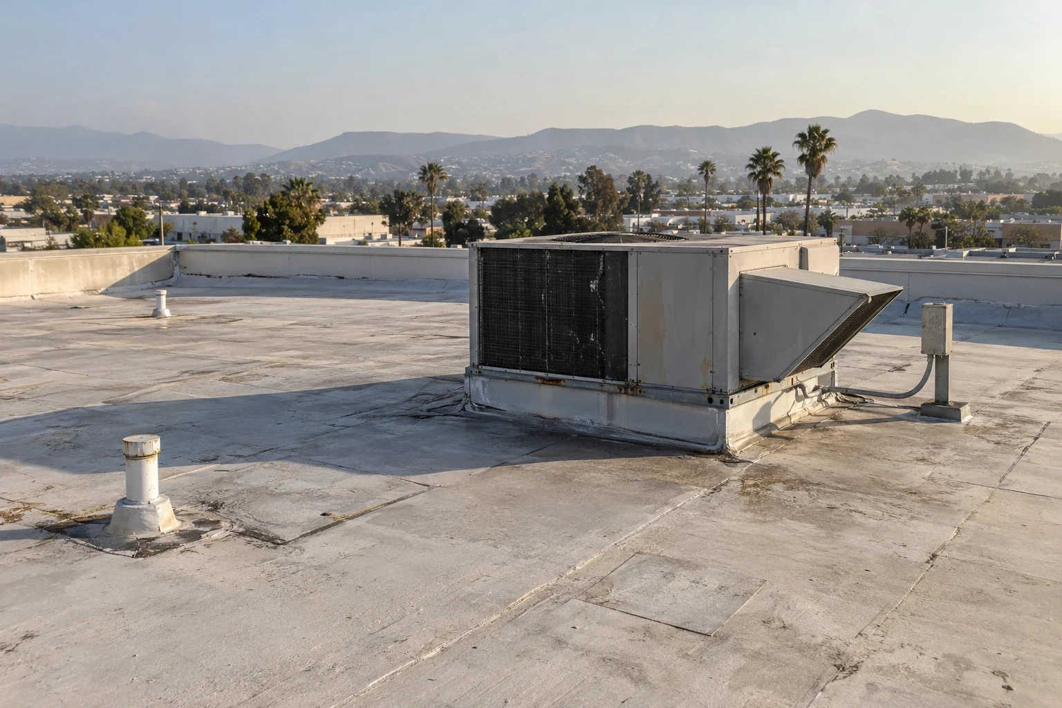
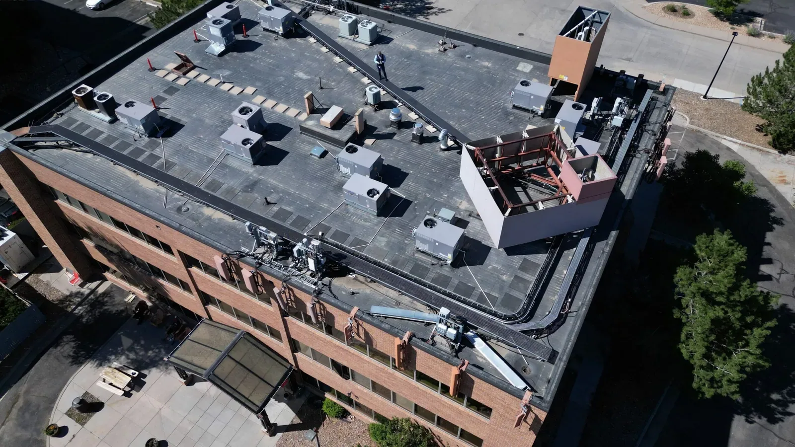
We plan image coverage by roof zone instead of collecting disconnected pictures. Overlapping views show where planes meet; broad images show drainage and equipment, while closer views locate seams and edges. Every image needs a building or zone reference for work orders and later reviews. Shadows, reflective membranes and rooftop clutter can make features difficult to read. We select angles that show the relationship between a feature and its nearby edge, drain or equipment curb. Images carry a capture date and zone label so later reviewers can compare the same surface without mistaking a different camera angle for a change in condition.
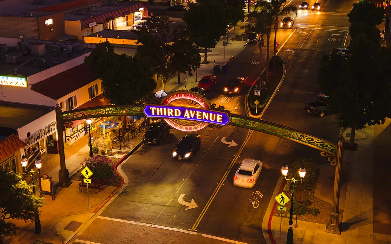
Third Avenue and Broadway are western business areas. Otay Mesa connects employment land with I-805, SR 905 and regional freight routes. We confirm access windows and operating limits with the property contact before flight. An Otay Mesa roof survey may need a different schedule from Third Avenue.
What Aerial Images Can Show
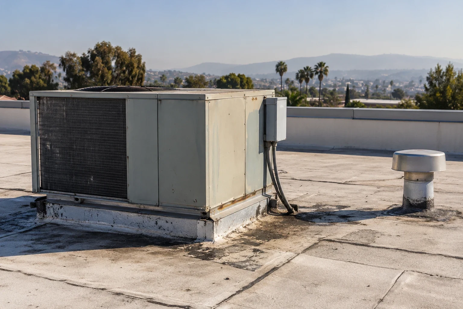
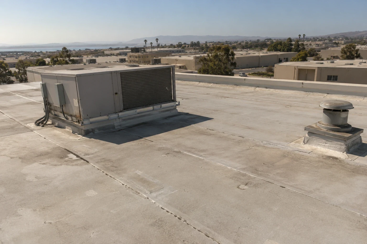
Images can show membrane discoloration, debris, visible punctures, open seams, displaced edges, ponding patterns and equipment layout. Broad views reveal patterns; closer views may show a seam or flashing. We organize each image so the reader can identify its roof zone and feature.
Images do not prove a dark patch is wet, insulation has lost value or membrane remains attached below a lap. Glare and shadows can hide cracks; surface stains may be old residue. We identify visible observations and pair them with hands-on checks when material condition matters. A roof walk can test a detail; a moisture survey may assess hidden layers when conditions allow.
Aerial drainage views may show debris or a broad low area, but cannot measure concealed slope or explain deck settlement. We use them to choose where a person should inspect, then record the observation and next step.
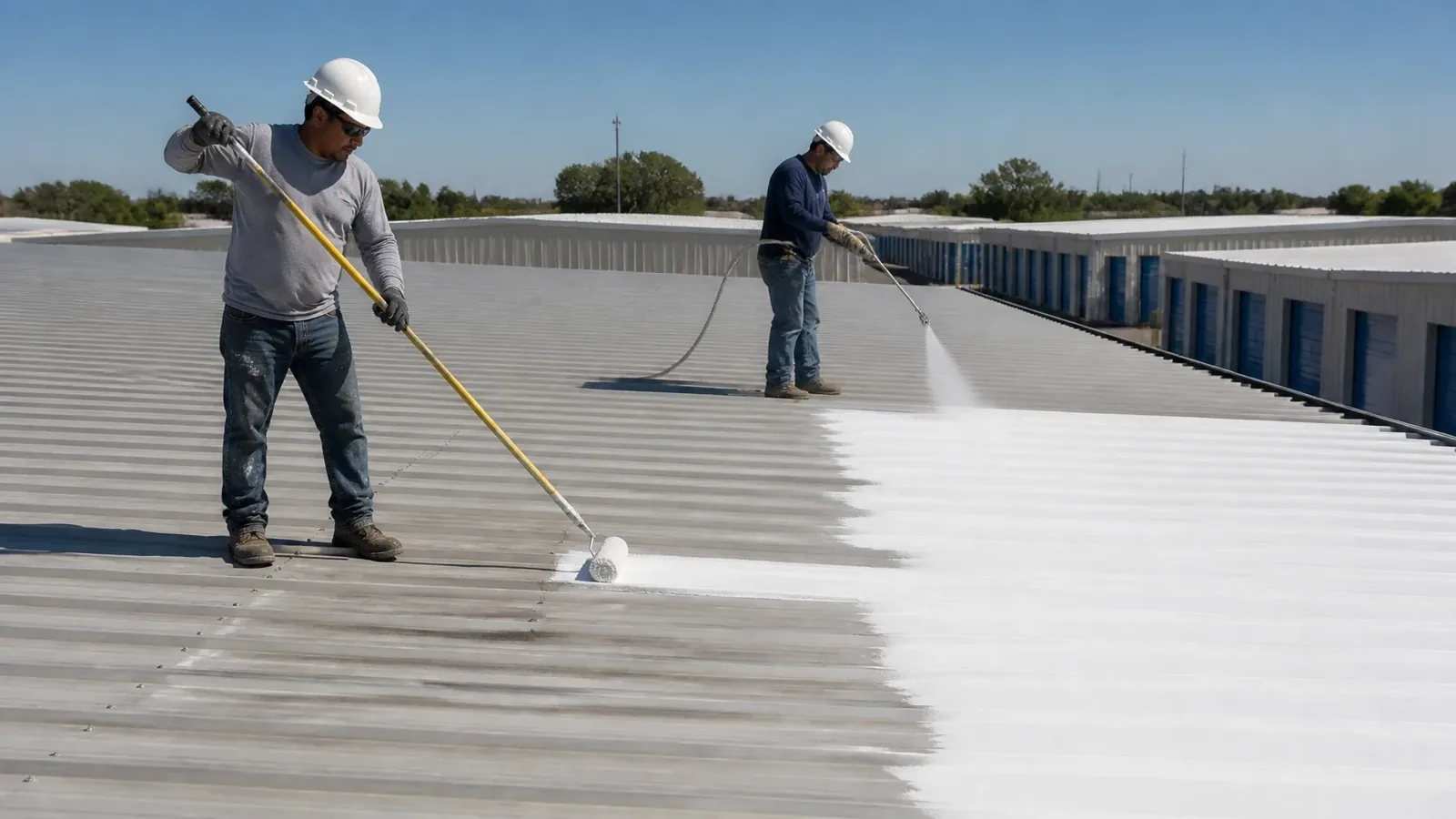
Turn Images Into a Roof Walk
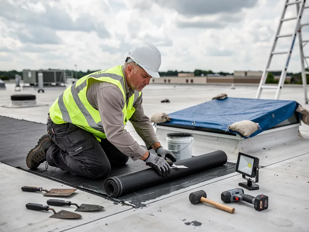
When imagery flags a concern, a physical check follows where safe. We inspect the indicated zone, seams and flashing, and see whether the issue continues beyond the visible edge. A drone can show a displaced edge; a roof walk checks attachment and substrate. For a leak, we compare the image with the room report and likely water path. Pair images with a roof walk when repair details are obscured.
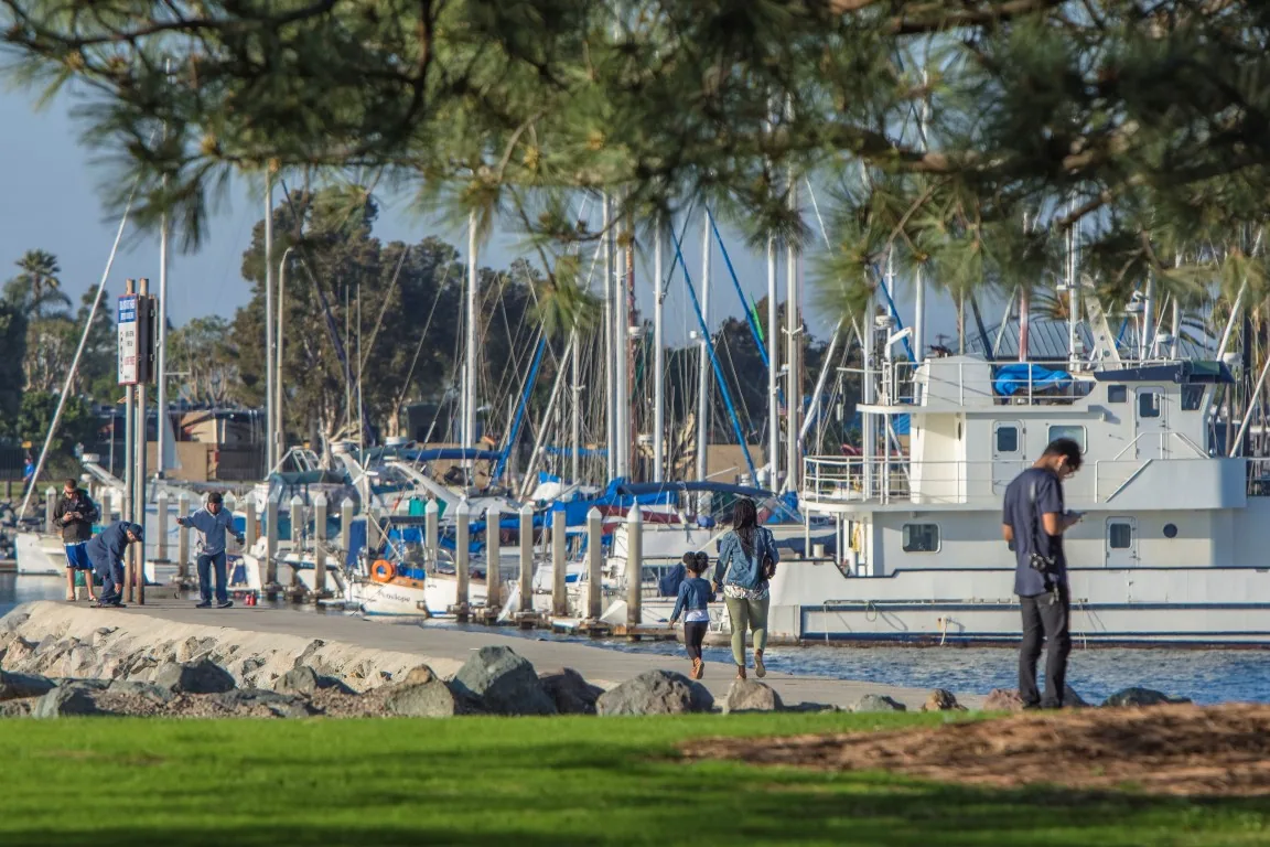
The Chula Vista Bayfront plan includes hotel, retail, restaurant and marine-support uses. Mixed-use properties can have separate roof planes, loading areas and equipment zones, each requiring its own access plan. We identify the correct building with the facility contact. The Bayfront service area has varied commercial uses, but each assembly still needs direct inspection.
Before-and-after views can help document planned work when captured from similar angles. They show visible surface changes, not whether a hidden layer is dry or a repair will remain sound. Pair aerial records with written condition findings and roof-level photos.

Access, Weather and Occupied Sites
Wind, rain, heat shimmer, low light, wires, cranes or nearby activity may make a flight unsafe or unreliable. We confirm a launch area and keep people clear. If conditions change, the pilot stops and we reschedule or use another method.
Facility contacts identify sensitive areas, tenant schedules, delivery routes and restricted roof zones. Receiving traffic may affect launch at a warehouse; a storefront entrance and sidewalk remain important. We plan capture and foot inspection around operations where possible.
Chula Vista rain concentrates from November through March, while hotter dry winds are more common inland. Moisture, wind and glare affect image quality. We record flight conditions and say when a view is incomplete or a detail remains obscured.
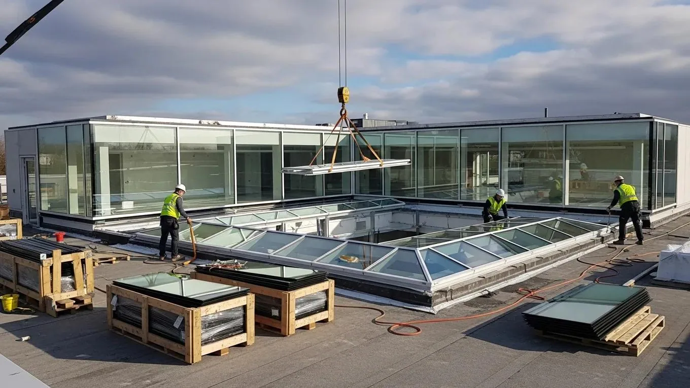
Keep the Image Set Actionable
A deliverable should make it easy to return to a roof location, not require a facilities manager to sort hundreds of unlabeled files. We group images by building and roof zone, select useful views and record visual concerns by roof-zone location. The record explains whether an item is an image observation or a finding confirmed on the roof. Recommendations identify the next inspection or repair action without presenting an aerial view as proof of hidden conditions. When a view suggests a seam concern, we identify the nearest roof feature and the viewing angle. The follow-up crew can then locate the area and check the actual physical roof material directly there instead of searching the full roof again.
Scope and timing depend on the number of buildings, roof access, flight conditions, image detail and any hands-on follow-up. Large properties need more time to plan coverage and match views to each roof plane. If close inspection is required around equipment or a seam, that is a separate site task. We explain those boundaries up front. For a portfolio, multi-site roof planning can keep imagery and inspection records organized by property, while capital planning can use confirmed findings to sequence future work.
To arrange a drone roof inspection, share the property, roof zones of interest and access contact. We will confirm whether aerial capture fits the question, document the visible areas and explain which conditions need a direct check.